
QGIS
GIS Software
A geospatial analysis project developed to identify the most suitable locations for telecommunication base stations using Geographic Information Systems (GIS), spatial analysis, and location intelligence to support infrastructure planning and network expansion.
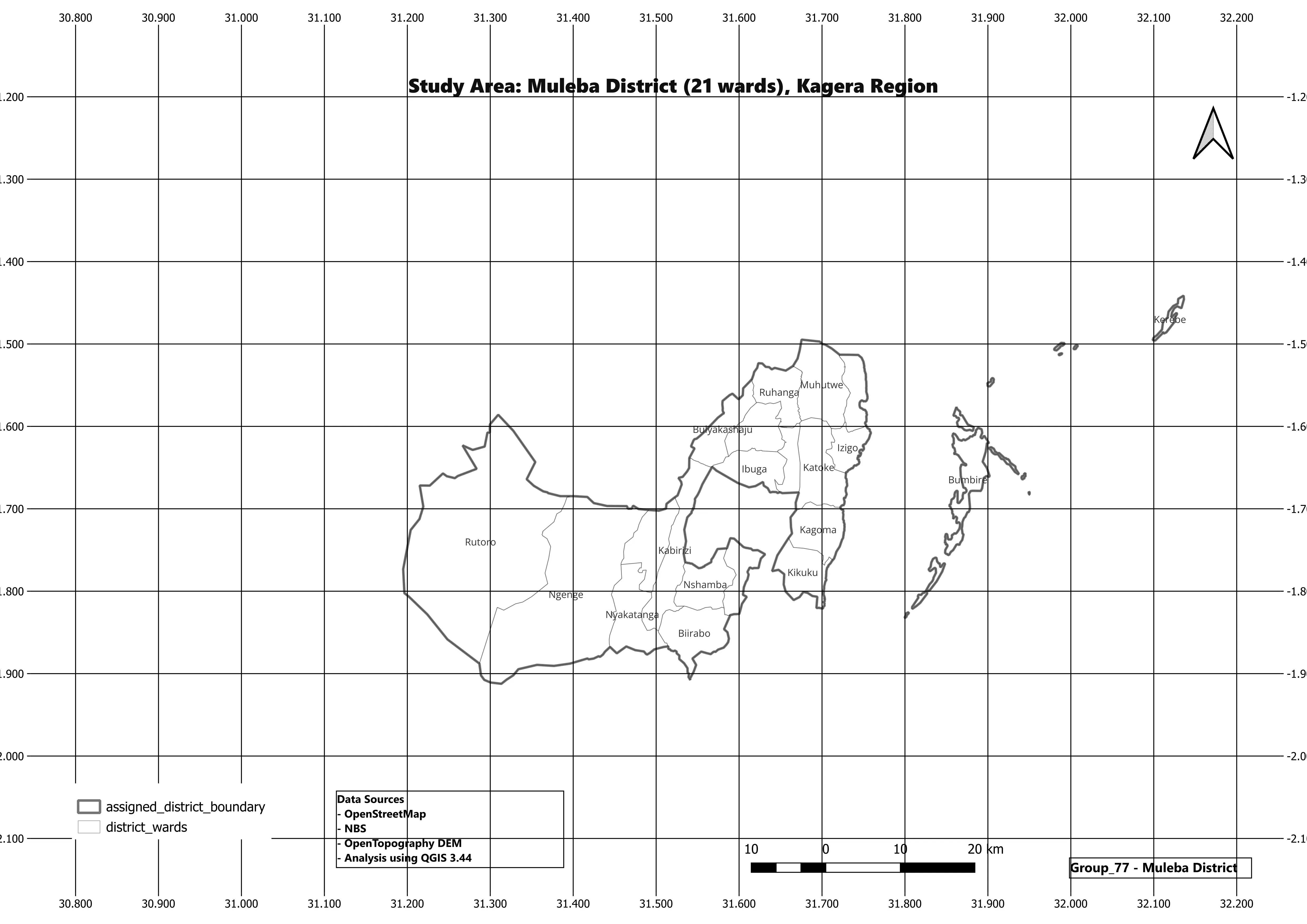
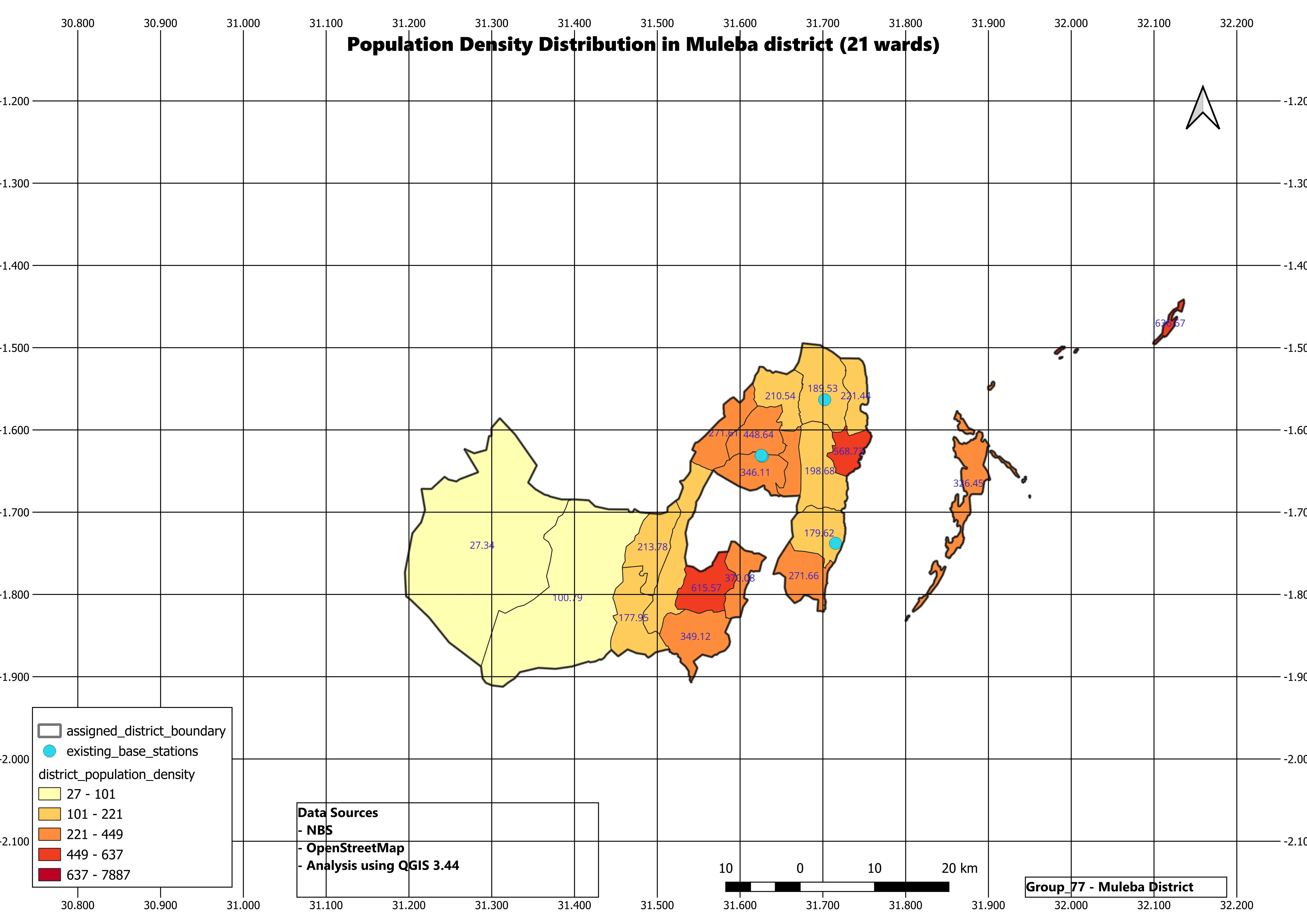
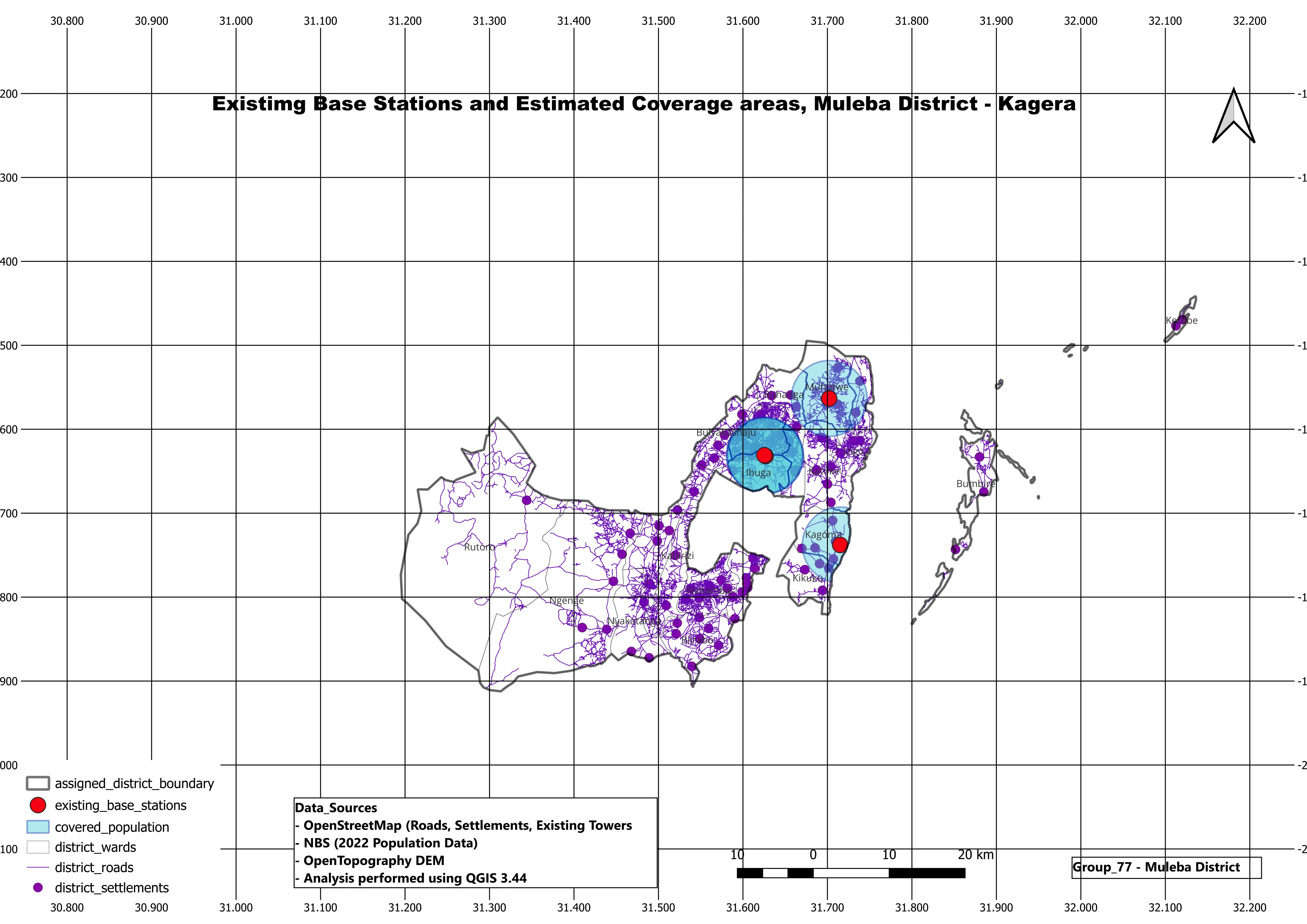
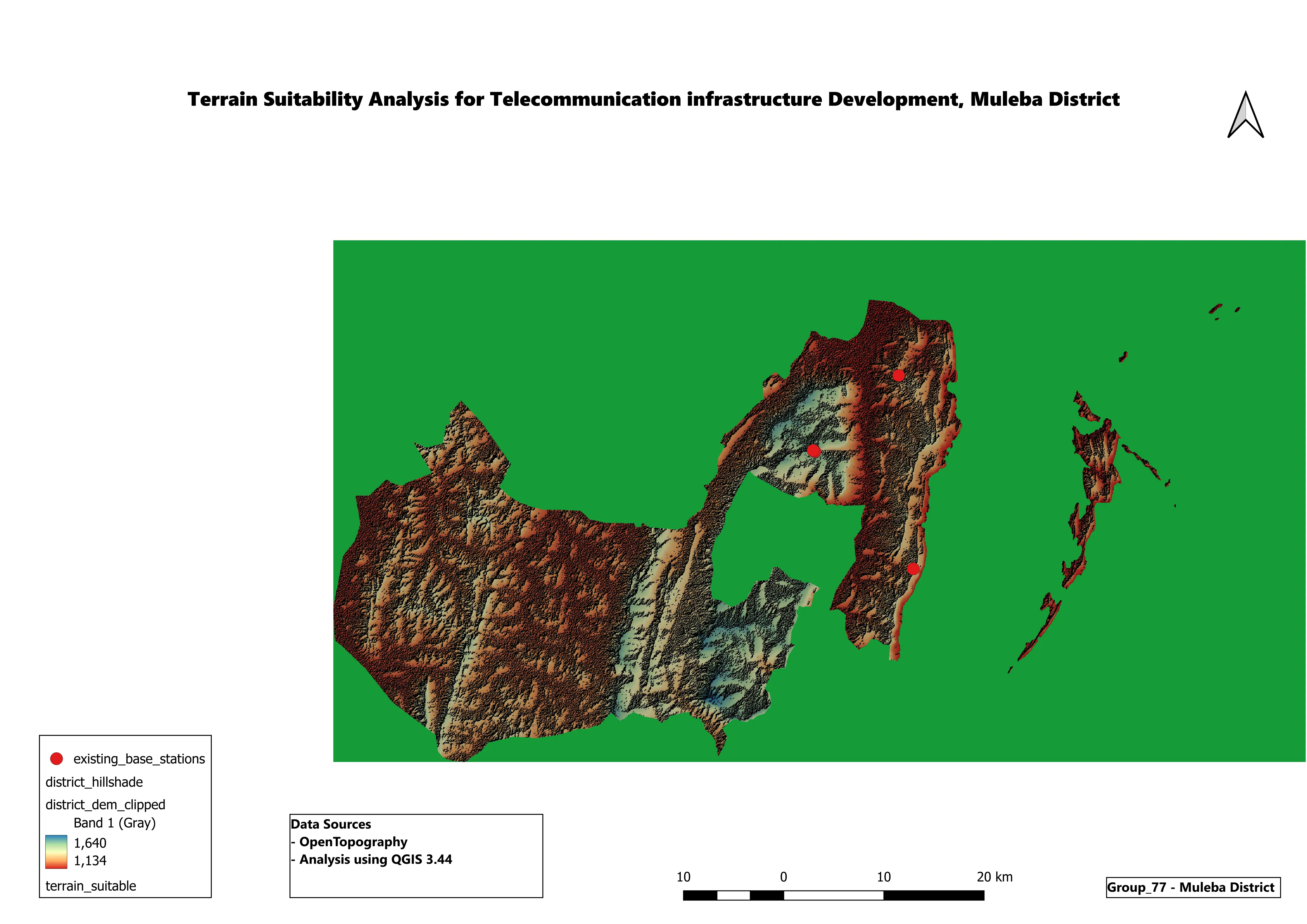
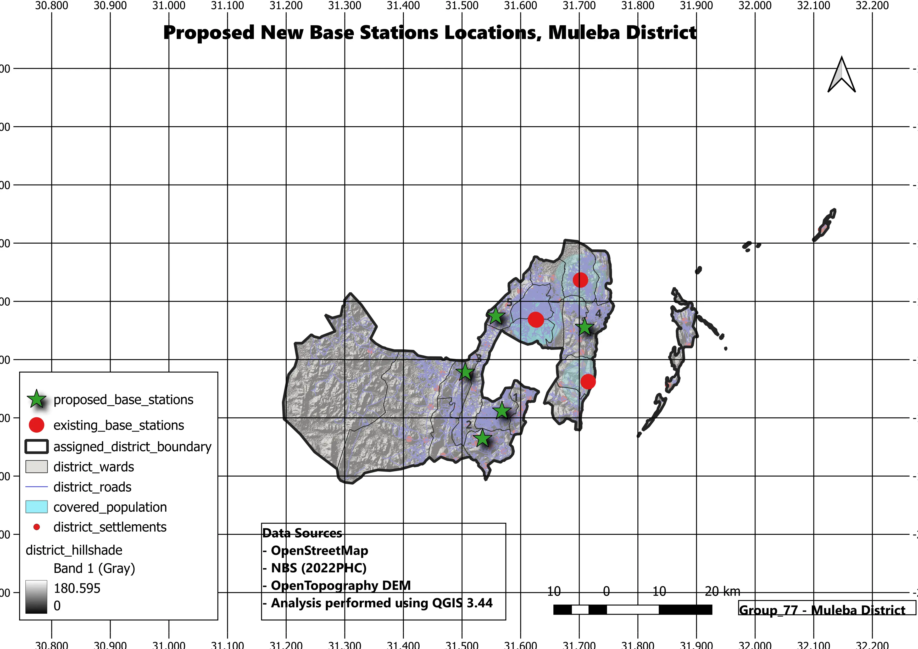
Selecting the right location for telecommunication infrastructure is one of the most critical decisions in network planning. Poor site selection can lead to limited service coverage, increased deployment costs, and inefficient resource utilization.
MLUE Technology conducted a location intelligence study using Geographic Information Systems (GIS) to evaluate suitable areas for telecommunication base station deployment. By combining multiple spatial datasets and analytical techniques, the project demonstrates how geospatial technology can support informed infrastructure investment decisions.
Telecommunication providers must carefully determine where to deploy new network infrastructure to maximize coverage while minimizing operational and investment costs. Without spatial analysis, organizations may face challenges such as:
Making these decisions without location intelligence increases both financial and operational risk.
MLUE Technology applied geospatial analysis techniques to identify suitable locations for telecommunication infrastructure. The project integrated multiple spatial datasets to evaluate potential deployment areas. Through spatial modelling and suitability analysis, decision-makers can better understand where future network investments are likely to deliver the greatest value.
Integrated datasets including Administrative Boundaries, Population Distribution, Road Networks, Land Use & Land Cover, DEM, and Existing Infrastructure.
Utilized Spatial Data Processing, Buffer & Overlay Analysis, Suitability Modeling, Spatial Querying, and Geographic Visualization.
Produced Suitability Maps, Infrastructure Planning Maps, Coverage Analysis, Decision Support Maps, and Geographic Reports.
Advanced geospatial tools and methodologies were utilized to process and analyze complex spatial data.


The proposed geospatial approach helps organizations mitigate risks and make data-driven decisions:
Modern organizations generate large amounts of business and geographic data, yet many decisions are still made without considering location. Location Intelligence transforms geographic data into actionable insights that support Business Expansion Planning, Infrastructure Development, Market Analysis, Resource Allocation, Risk Assessment, and Strategic Decision-Making.
Whether you're planning infrastructure, evaluating new investment locations, analysing markets, or supporting strategic expansion, MLUE Technology delivers geospatial solutions that turn location data into meaningful business insights. Let's build smarter decisions through Location Intelligence.
Contact Us